
Buenos Aires has been implementing an impressive set of pedestrian interventions since 2012- This page shares some examples from the city’s official report, and provides Google Street View frames so that you can explore some of these intersections virtually.
Pedestrian interventions are led by a group including Secretary of Transportation Juan Jose Mendez and Director of Sustainable Mobility Paula Bisiau. The city works with neighborhoods to identify high priority intersections. Citizens want improvements that slow down traffic and simplify crossing the street on foot.
Buenos Aires typically installs a chain of interventions along several blocks of a corridor to make a bigger impact. On the city’s Diagonal avenues, nearly an acre of space has been converted to pedestrian use. One of the corridors- Avenida Warnes- has seen a 39% reduction in collisions since a series of 10 interventions was installed.
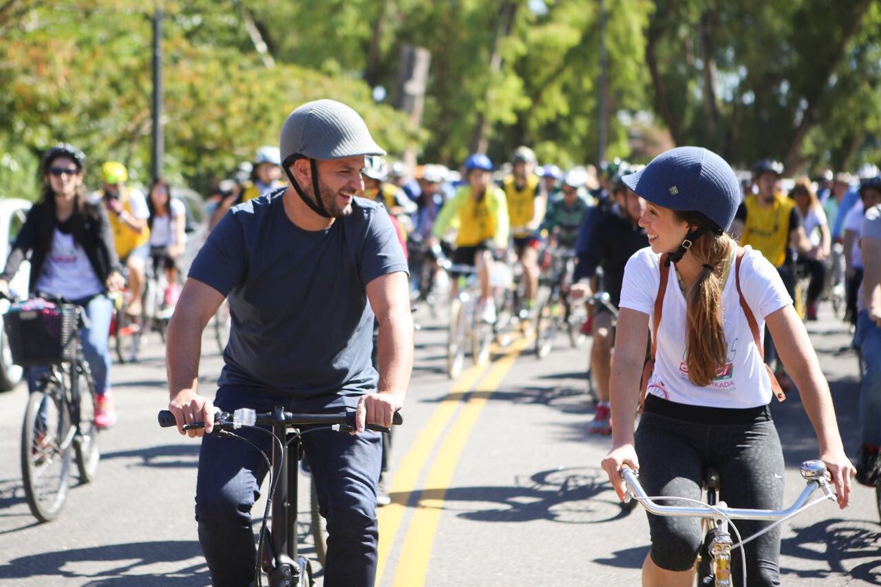
Buenos Aires is also improving public transportation, expanding its network of bike lanes, growing a bike share system, and promoting road safety through public campaigns.
Buenos Aires is one of the 29 cities around the world that has endorsed NACTO’s Global Street Design Guide released earlier this month. NACTO has been a key organization documenting best practices for interim design strategies– Lighter, quicker, cheaper methods of reconfiguring streets and intersections using paint, planters, and other temporary materials.
Interim design strategies have been featured in a few past projects here at IQC, including Okmulgee and Oklahoma City’s Classen Boulevard.
Diagonal Sur and Diagonal Norte
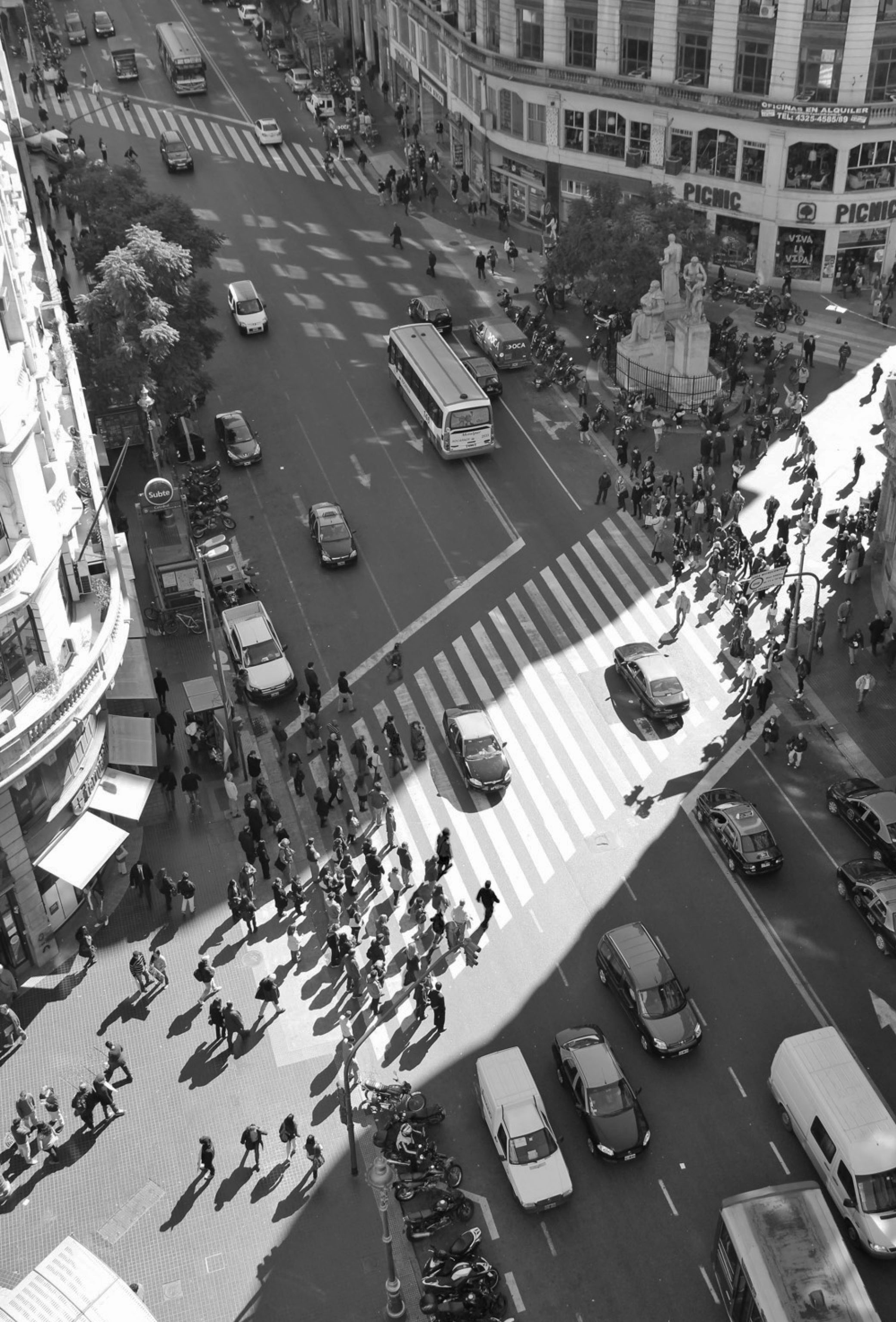
Diagonal Sur and Diagonal Norte are two diagonal streets that cut through the grid of Buenos Aires in the heart of the city, and they are two of the most heavily traveled streets for pedestrians. Diagonal streets create challenging intersections for pedestrians, and interventions along these streets sought to expand pedestrian space, slow down traffic, and make crossing the street safer and more comfortable.
Buenos Aires created a chain of pedestrian interventions along these important corridors that totals more than 3,000 square meters (3/4 of an acre!) of space reclaimed for pedestrians.
Secretary of Transportation Juan Jorge Mendez (@juanjom) and Director of Sustainable Mobility Paula Bisiau (@paulabisiau). Image via Twitter.
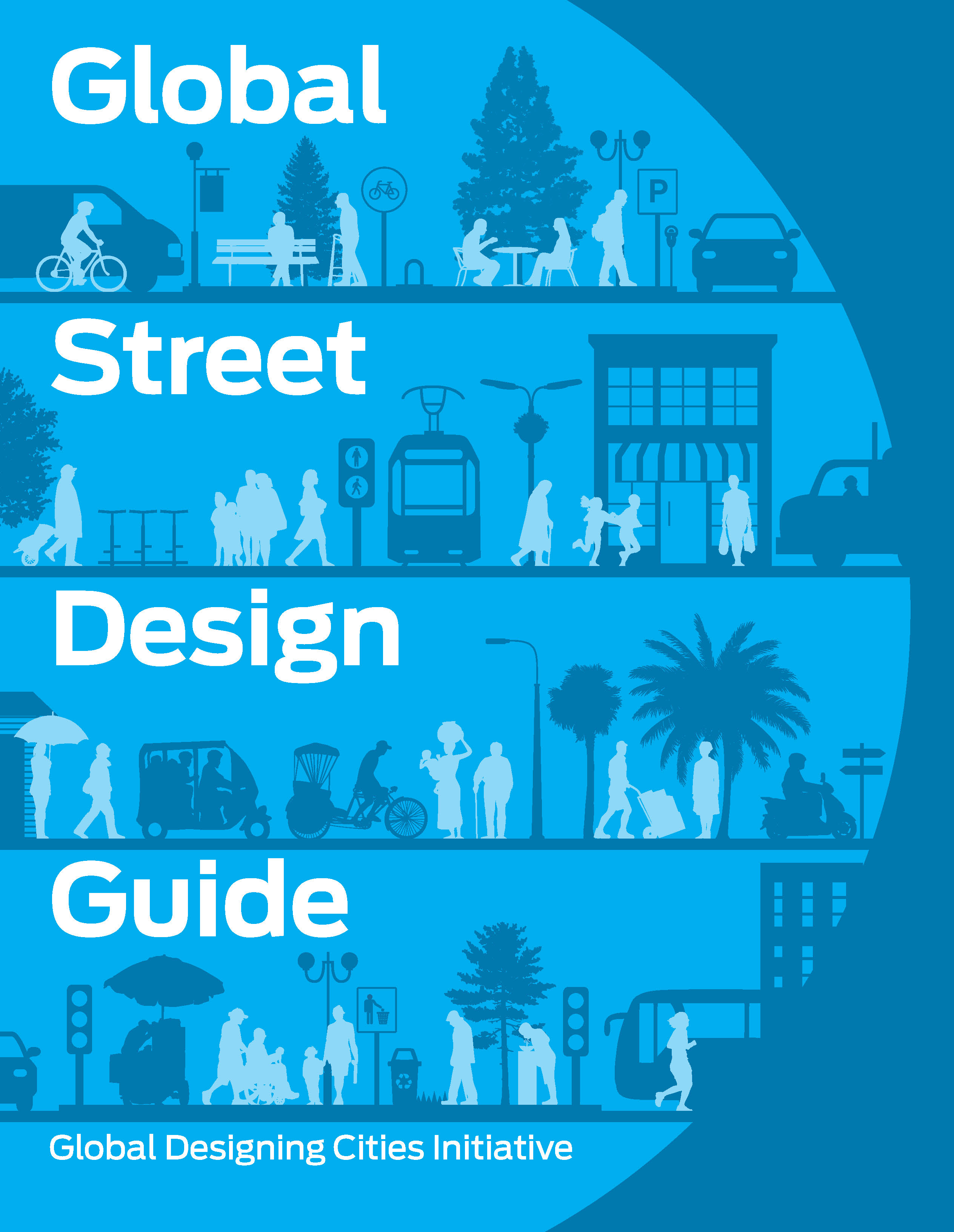
NACTO has been a leader in documenting best practices in interim design strategies, including in their Global Street Design Guide released earlier this month.
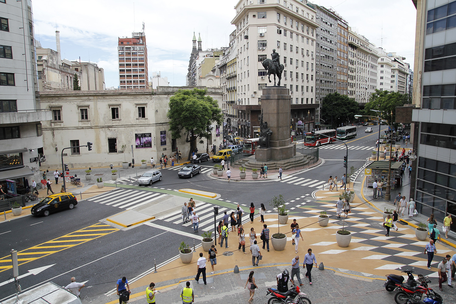
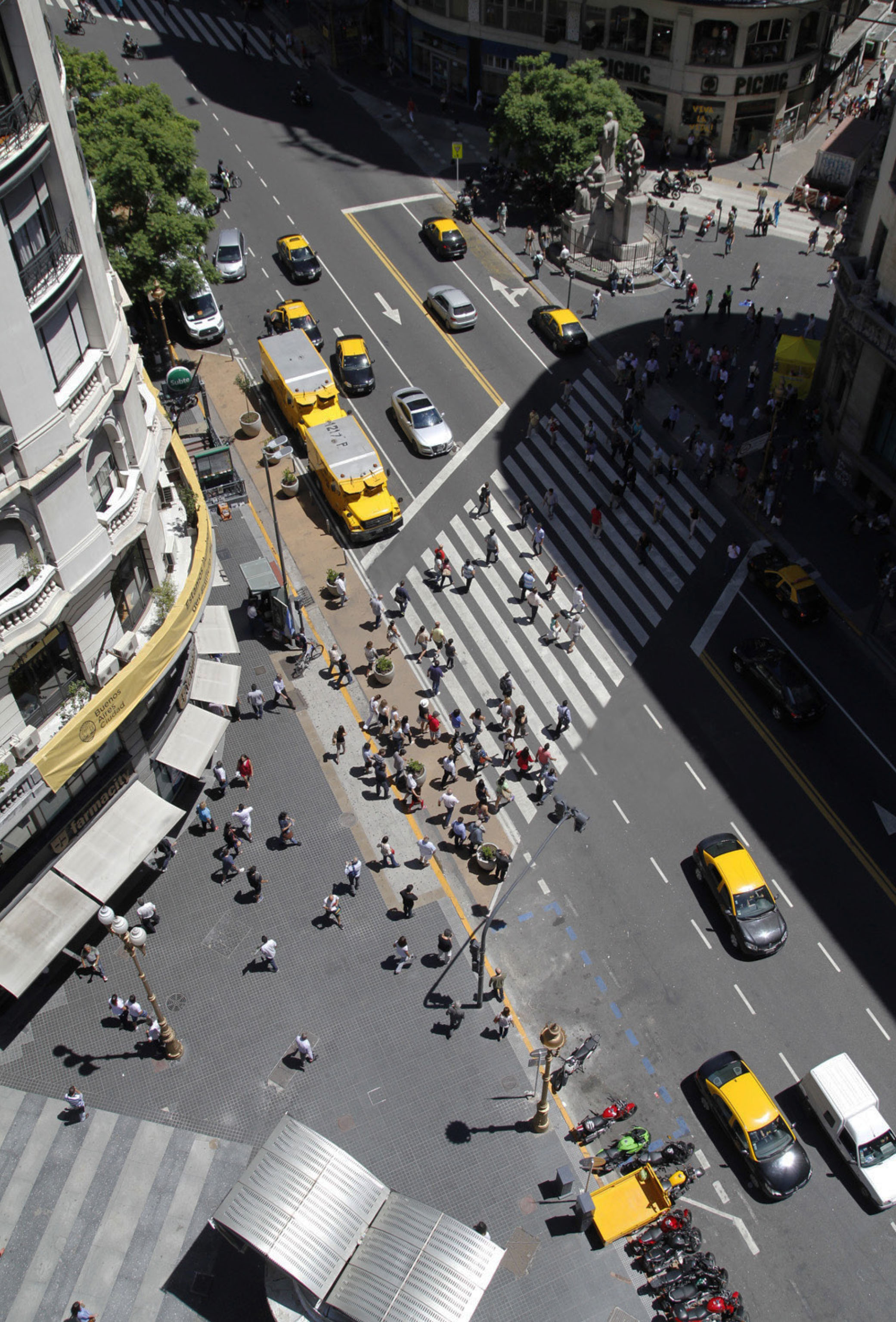
Diagonal Sur and Peru
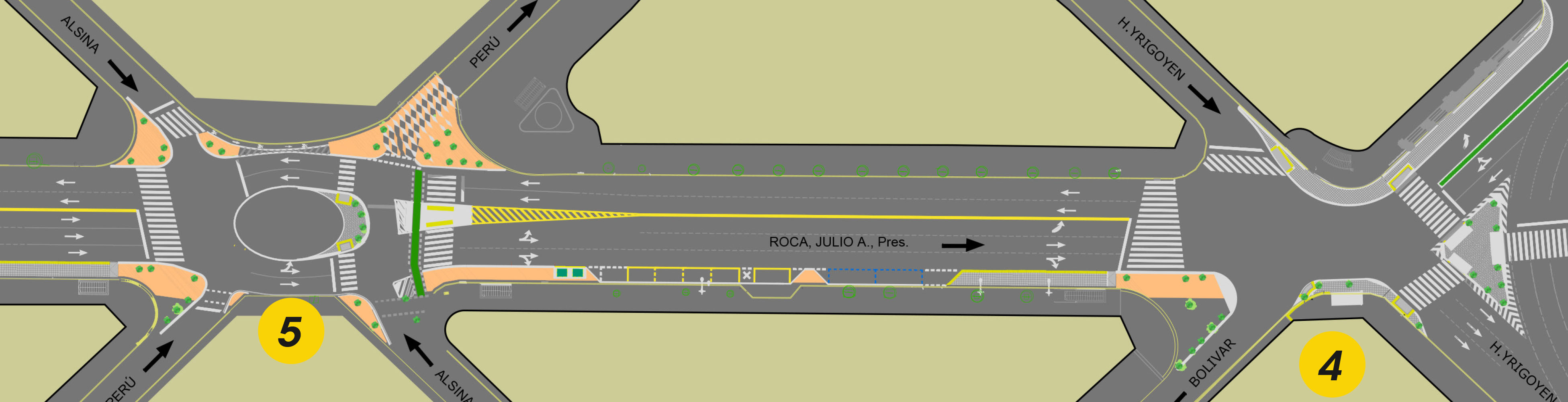
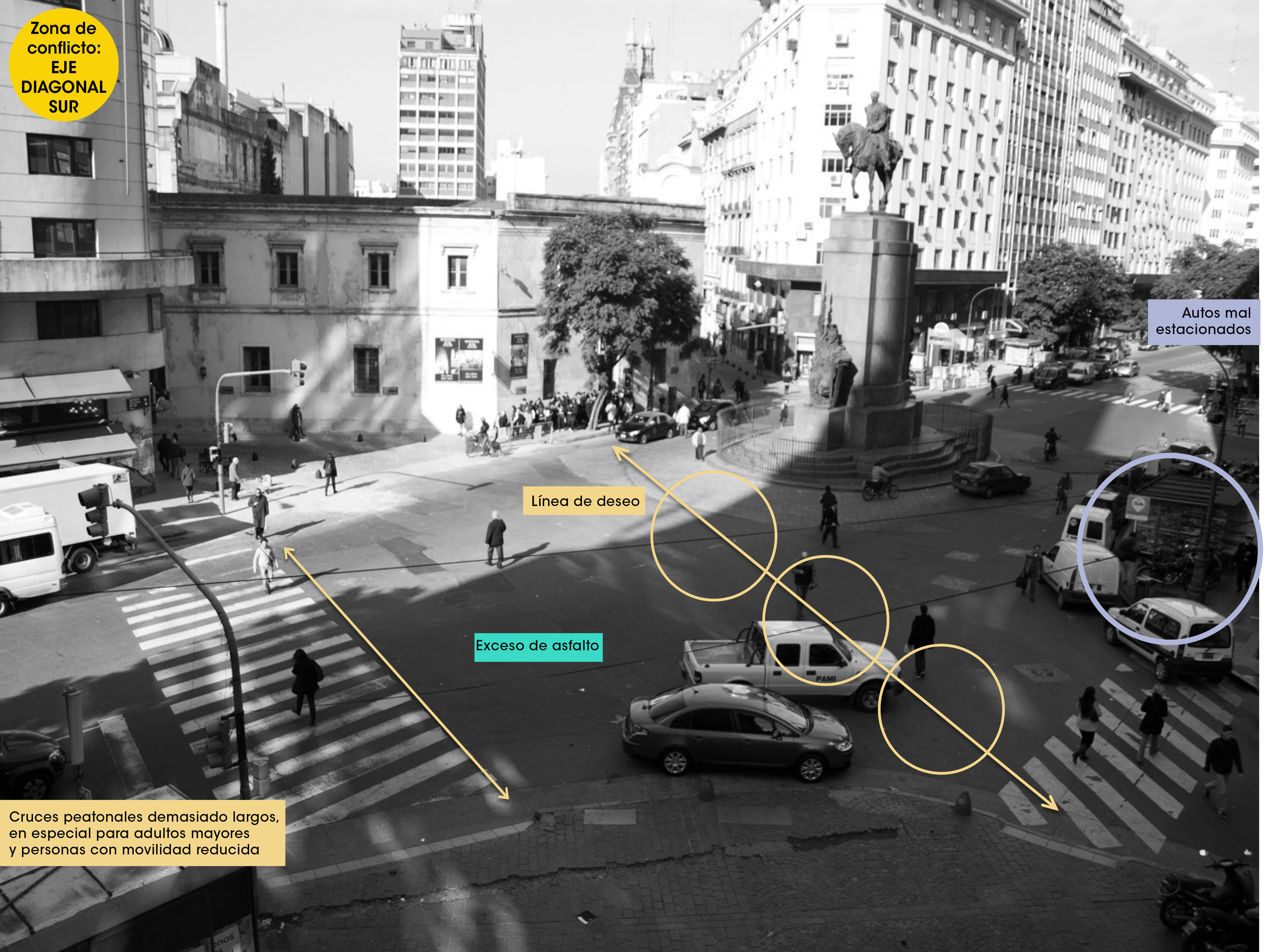
This image highlights the original conditions at the intersection of Diagonal Sur and Peru, where the Monument to Roca towers over the intersection. The view highlights missing crosswalk connections, long crossing distances for pedestrians, large expanses of asphalt, and cars parked everywhere.
At this intersection, 42% of pedestrians surveyed nearby felt unsafe on the street.
The intervention uses paint, planters, and concrete islands. A new crosswalk allows people to safely walk up to the iconic monument in the center of the intersection. Pedestrians have more space to move or linger and crossing distances are shortened with curb extensions. One of the streets connecting with the intersection now has restricted vehicular access.
After these improvements, only 24% of pedestrians surveyed nearby still felt unsafe on the street.
Diagonal Norte and Mitre
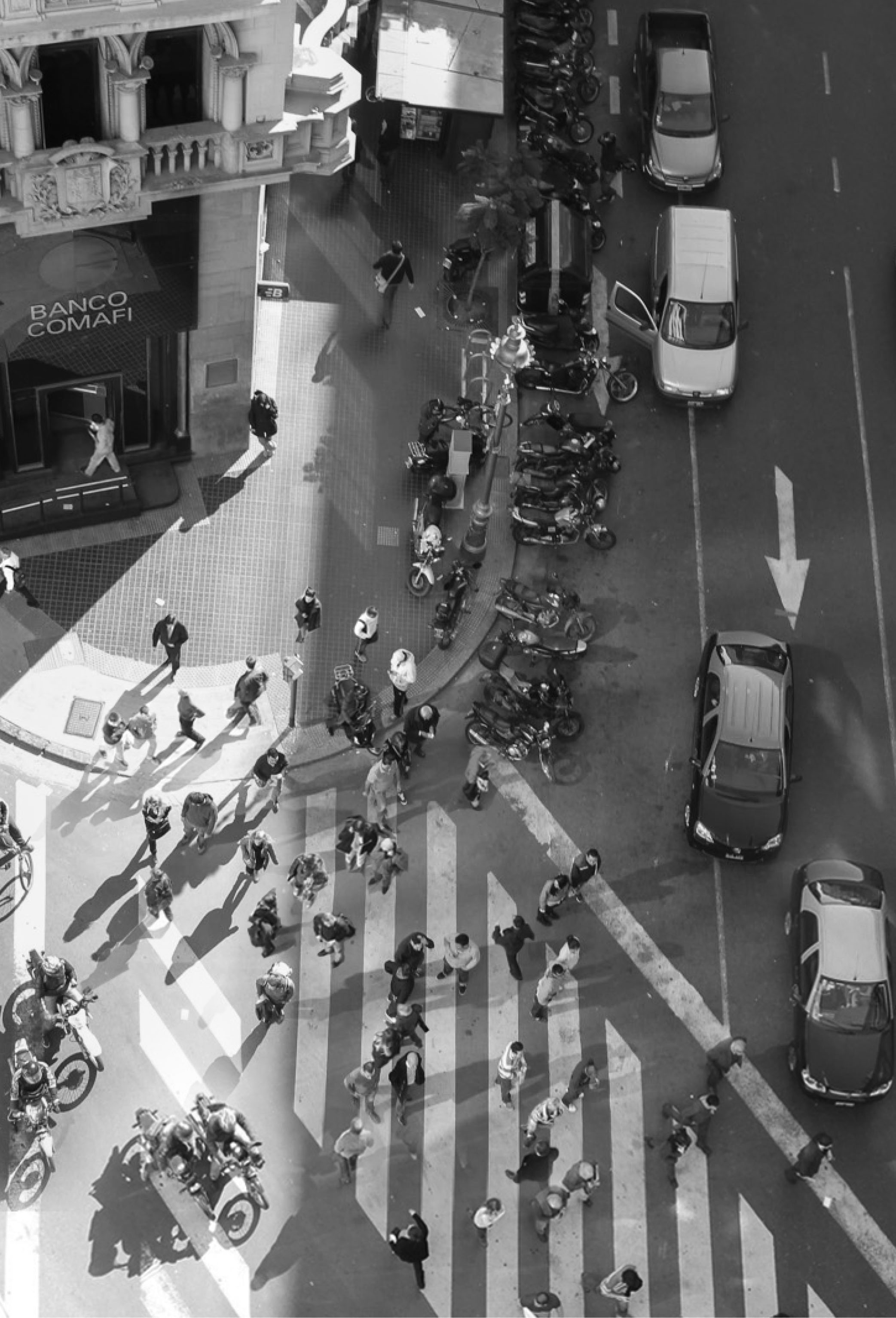
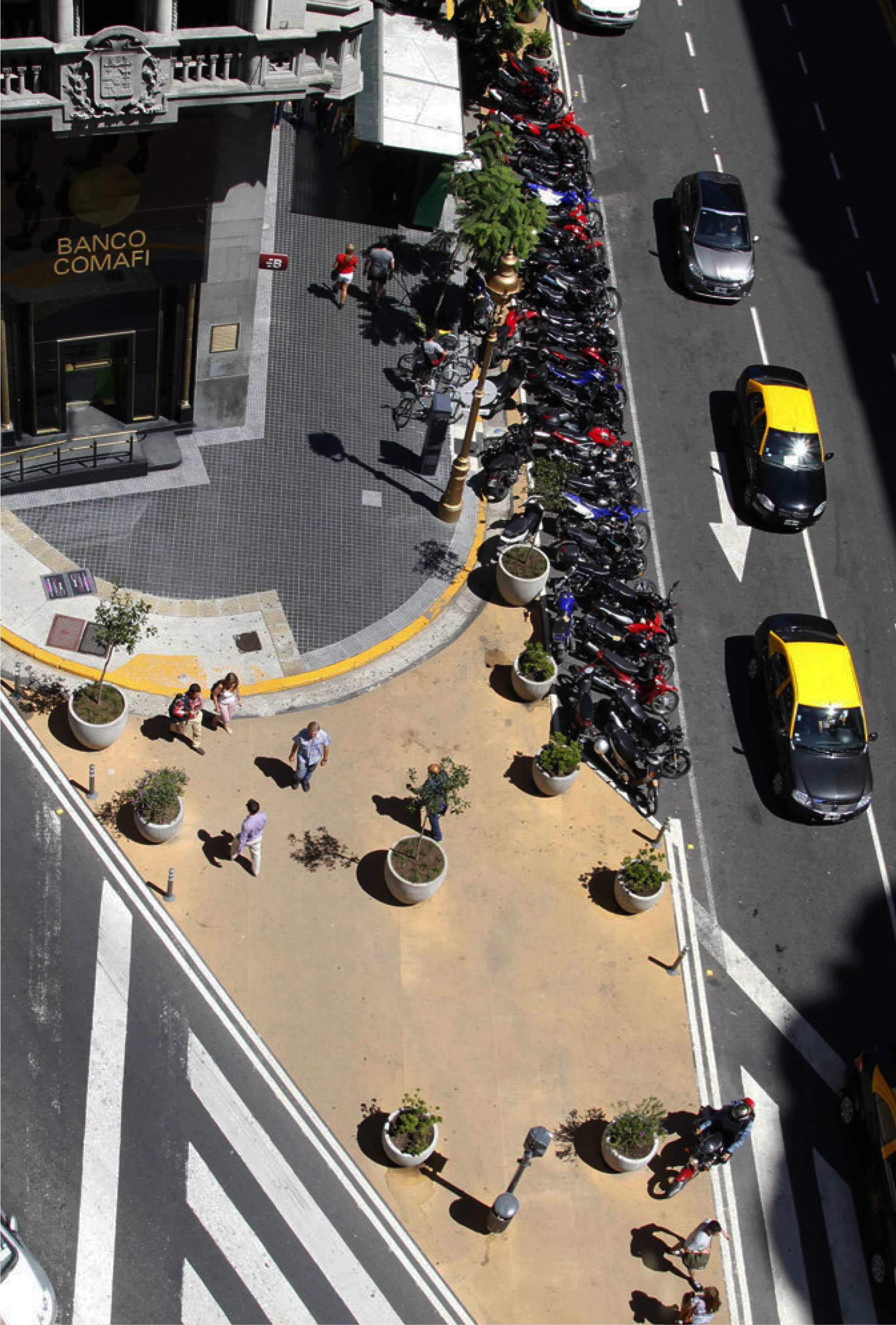
Diagonal Norte and Florida
Mahatma Gandhi and Marechal
Awkward, angular intersections are not required to implement interventions for pedestrians and traffic calming. This simple four-way intersection had wide corners for turning and long crossing distances.
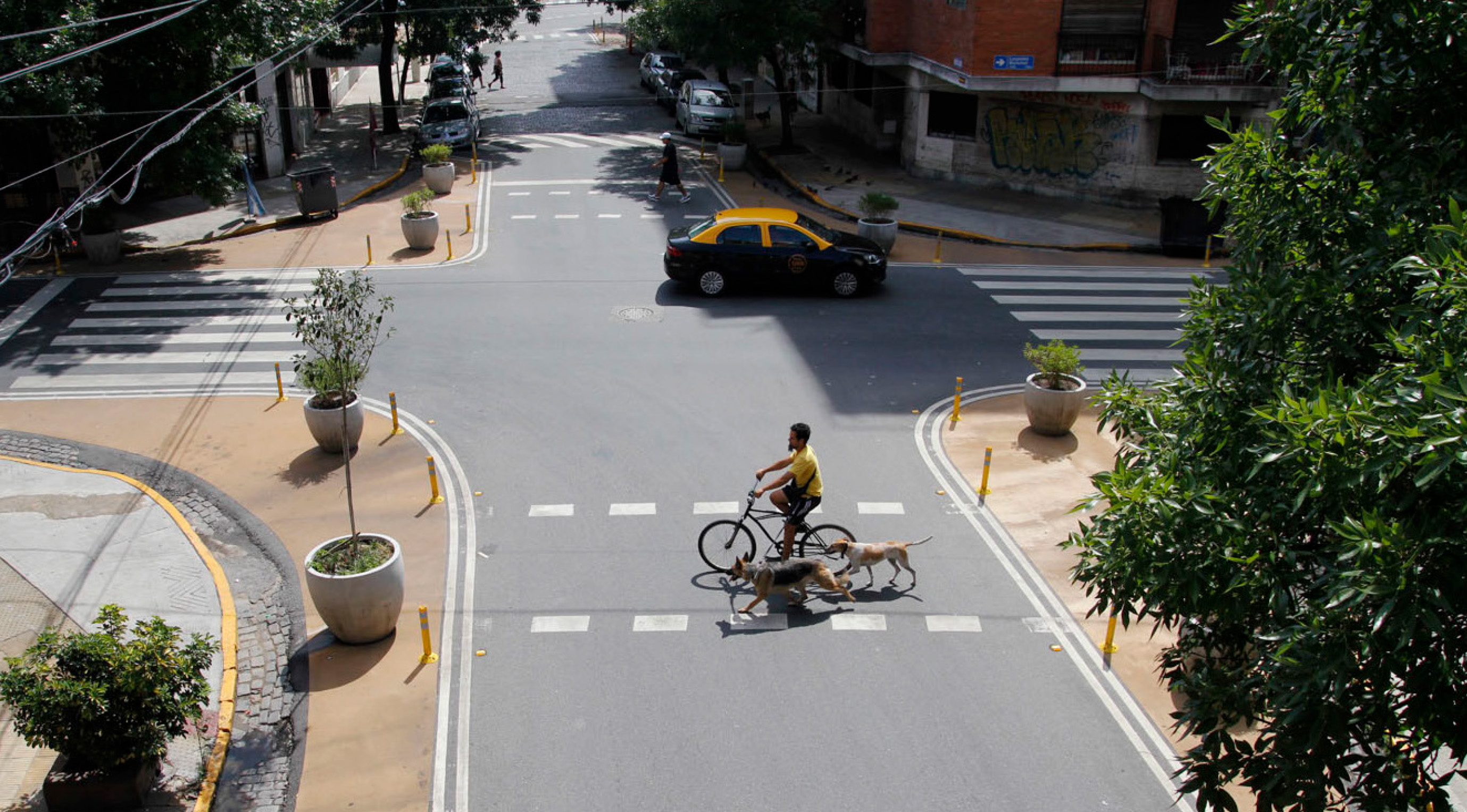
Warnes and Gallardo
The intervention pinches the street with curb extensions at this important neighborhood gateway to calm traffic. Another effect visible in Google StreetView: The vacant corner is now home to a cafe, thanks to slower traffic and more space for seating.
The series of interventions along Avenida Warnes has led to a 40% decrease in collisions.